Sources & credits
Facts on this site come from the official record of District Kinnaur, Government of Himachal Pradesh. Where that record describes uncertainty, the uncertainty is shown rather than filled in. Nothing has been reconstructed or inferred.
Text
- History — District Kinnaur, Government of Himachal Pradesh
Bushahr State and Rampur, the Thakurs of Chini and Kamru, sat khund, the Gurkha invasions of 1803–1815 and the sanad of 6 November 1815, the creation of Chini tehsil in 1891, and the constitution of Kinnaur district on 1 May 1960. Also the record's own statement that the early history of the region is obscure.
- Culture & Heritage — District Kinnaur, Government of Himachal Pradesh
The three territorial units, dress (thepang, chamn kurti, chhuba, dohru, choli, footwear), housing patterns, household objects, food and drink, religion and belief, monastic institutions, and the dialects of the district.
- District Kinnaur, Government of Himachal Pradesh — district home page
Location of the district, the Satluj and its tributaries.
Images
Each image below is a real photograph of Kinnaur, or a documented historical map. Replacing any of them with original or licensed 4K photography means changing a single entry in the archive registry.

Kinner Kailash range, Kinnaur
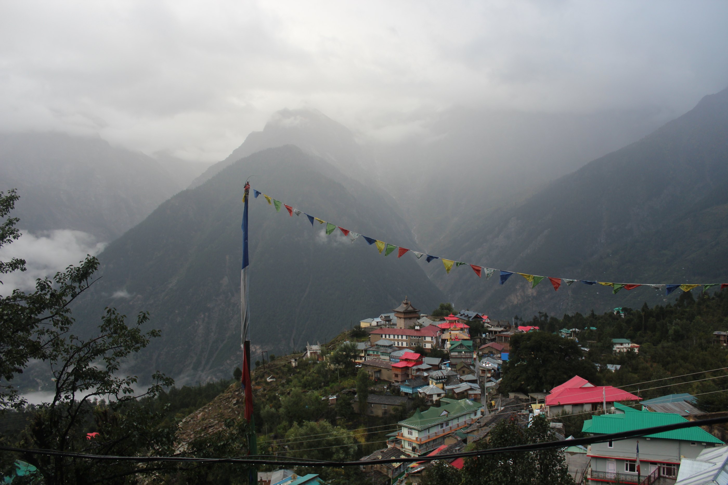
Chini village and Kila, Kalpa
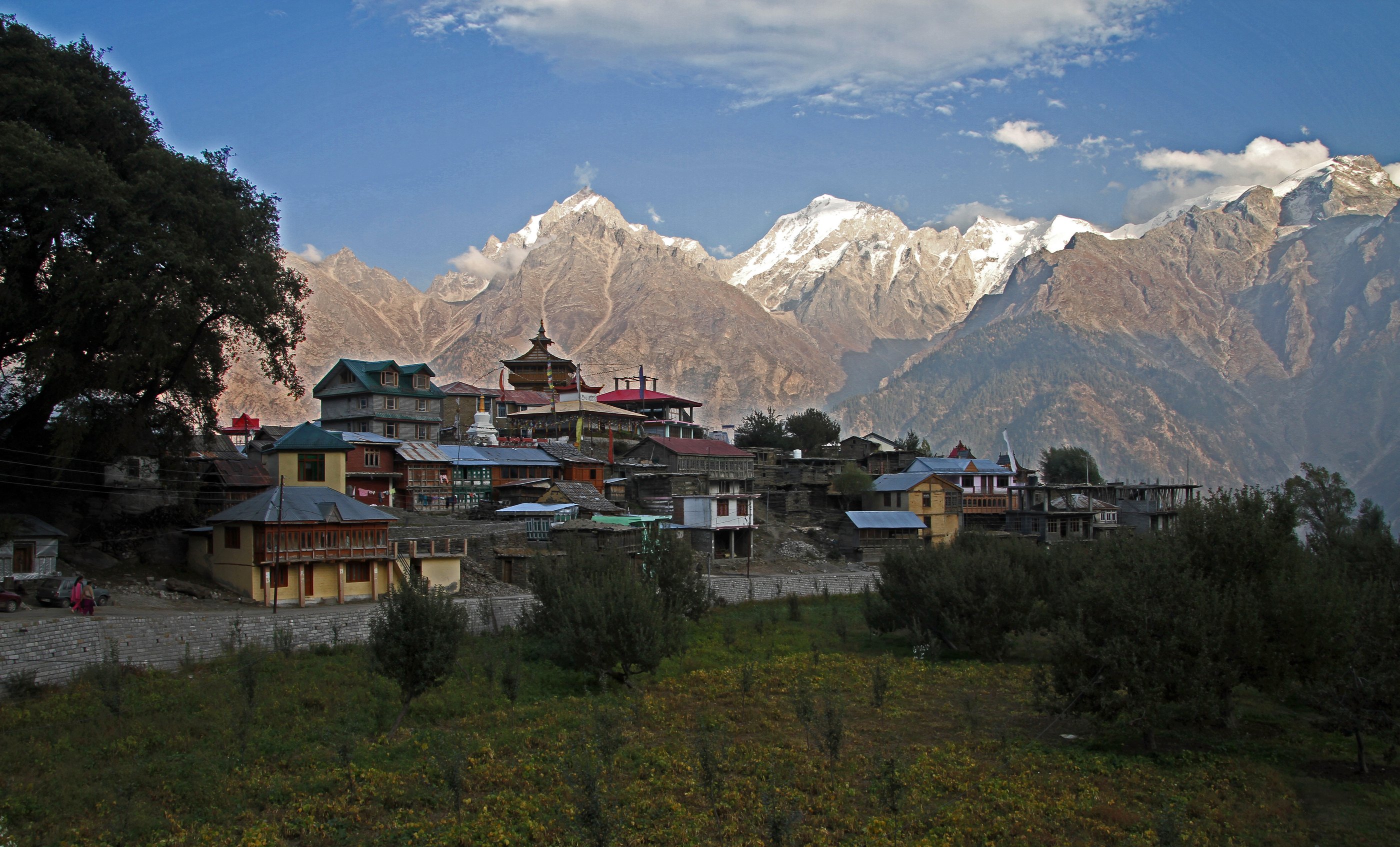
Kinnaur Kailash from Kalpa
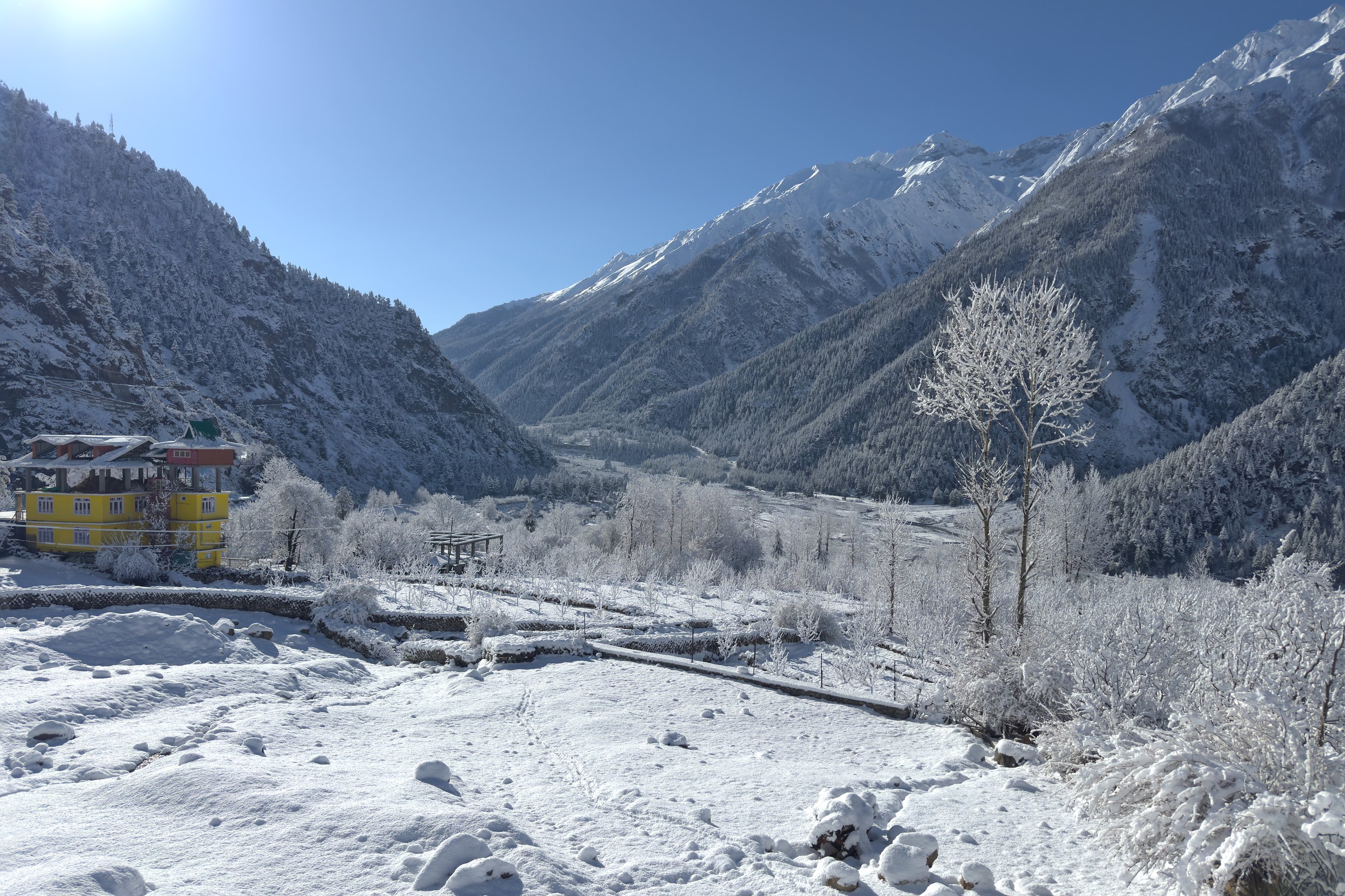
Baspa valley, Sangla
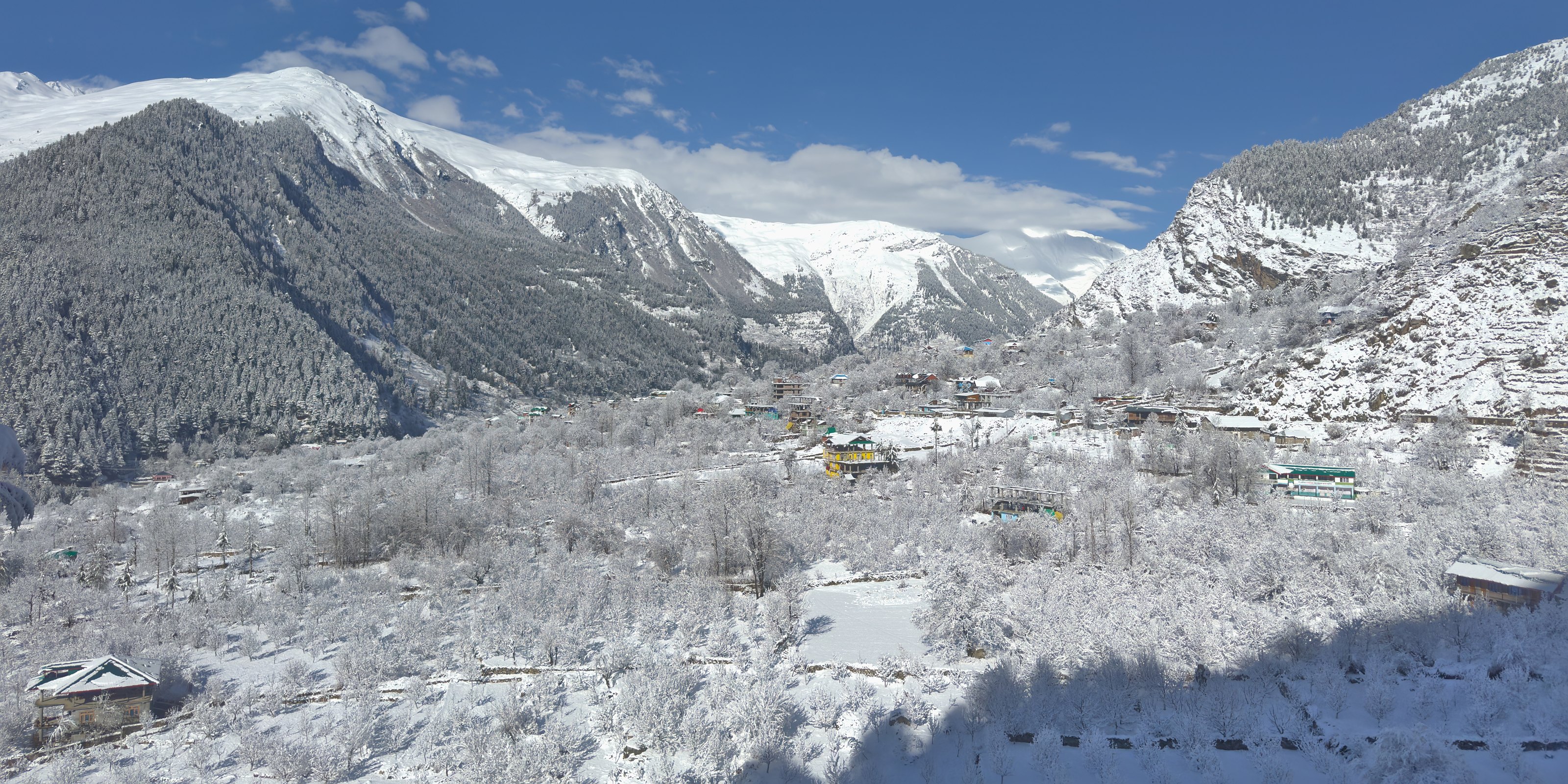
Sangla
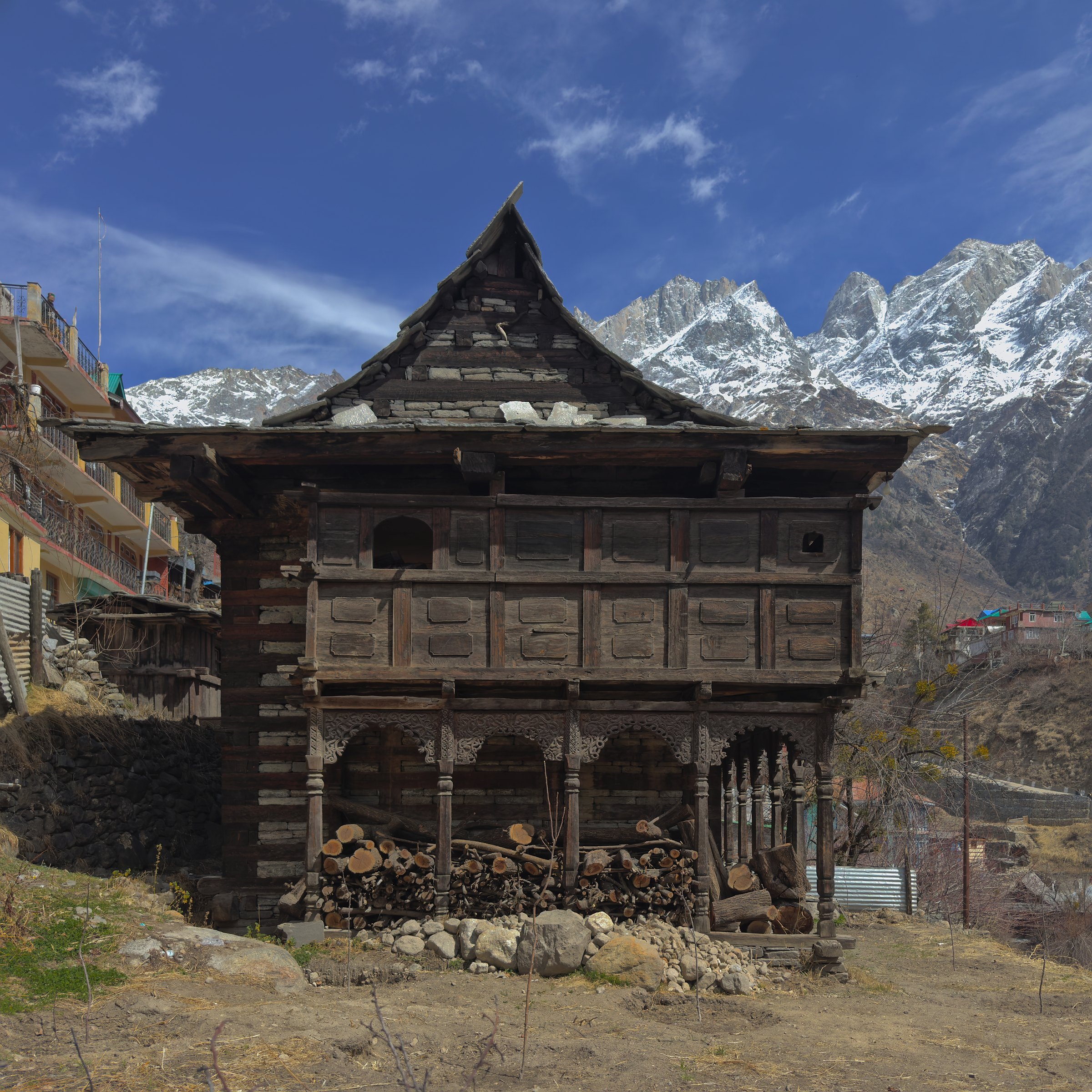
Traditional house, Sangla
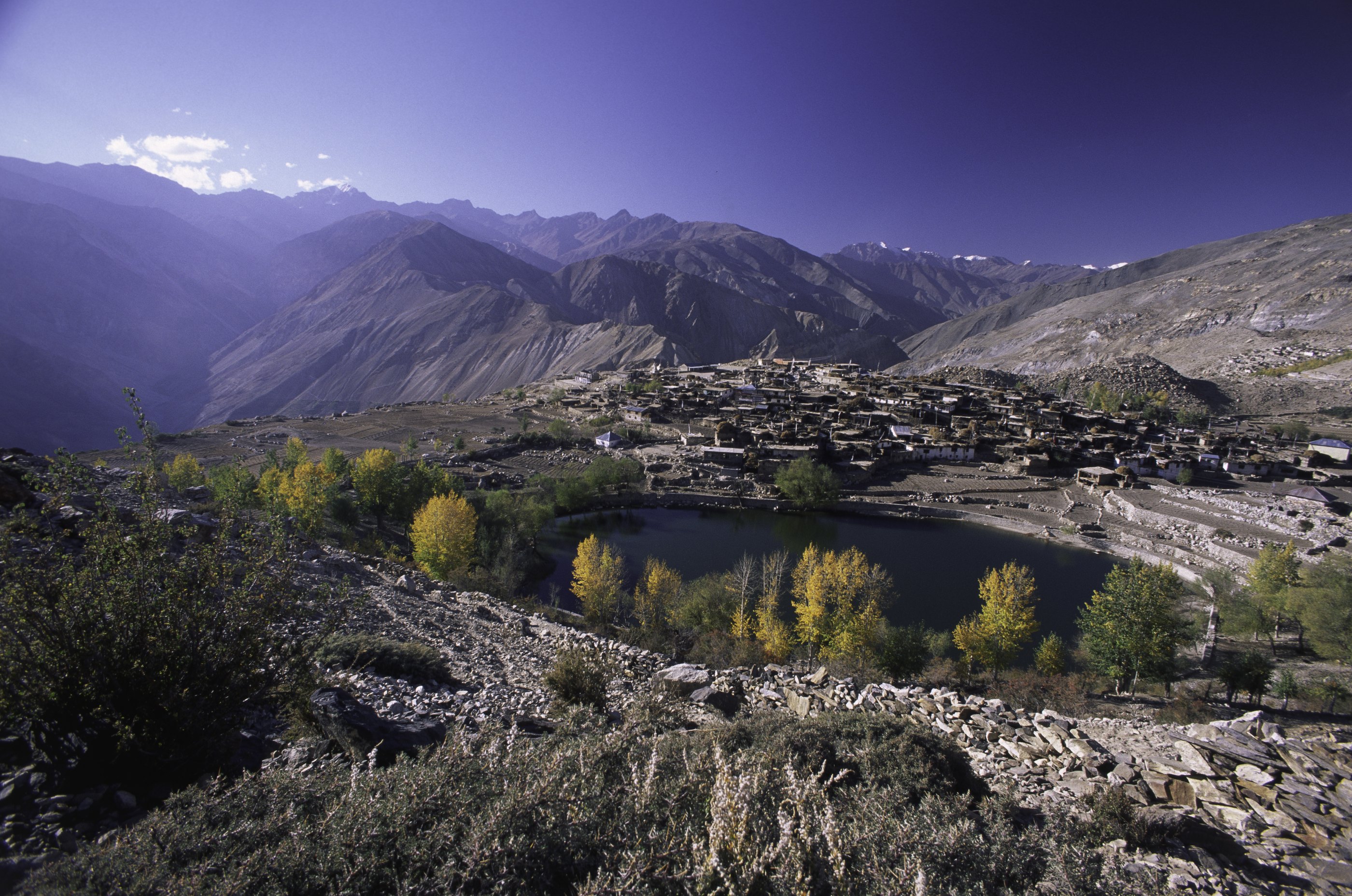
Nako lake and village, Hangrang
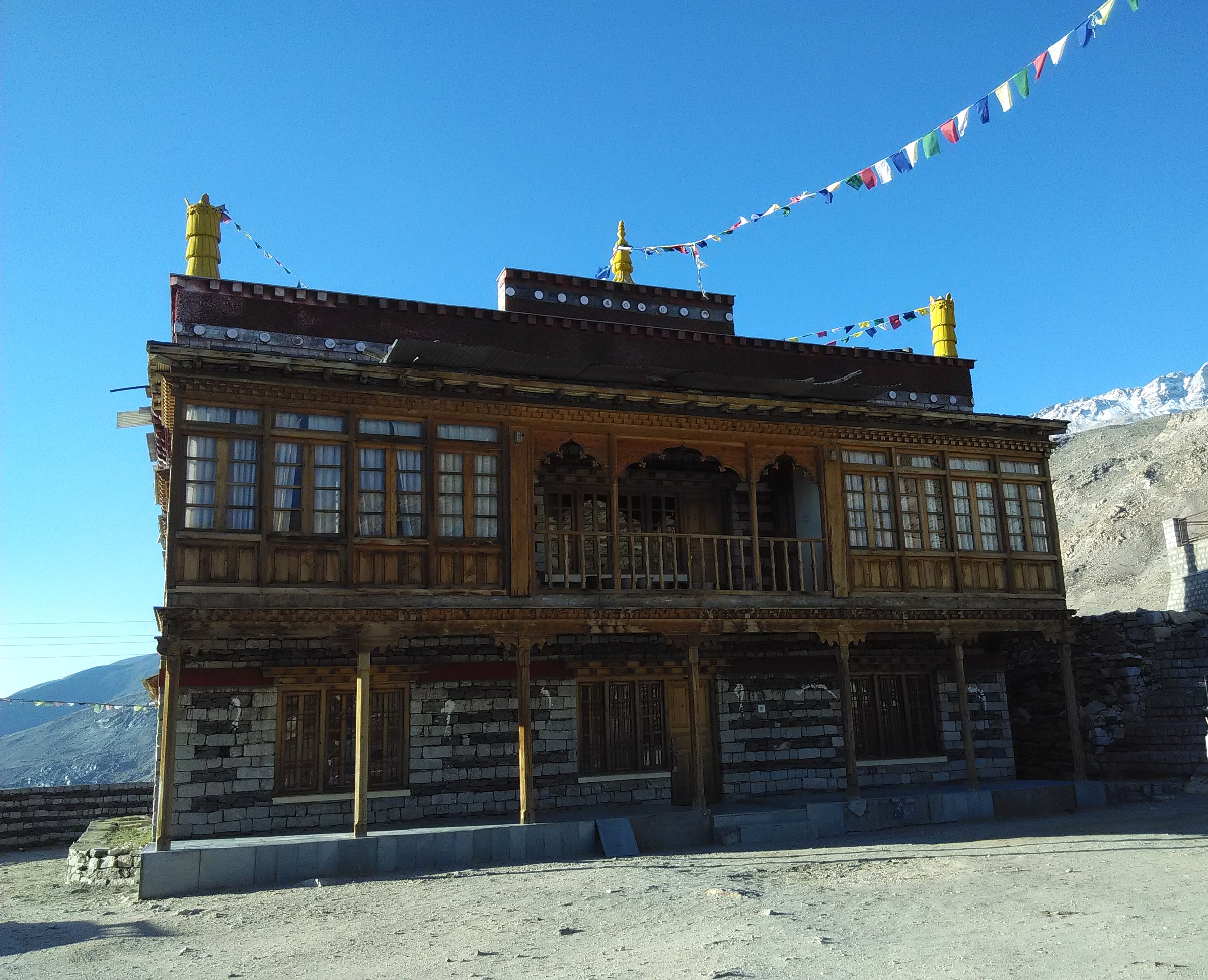
Monastery at Nako
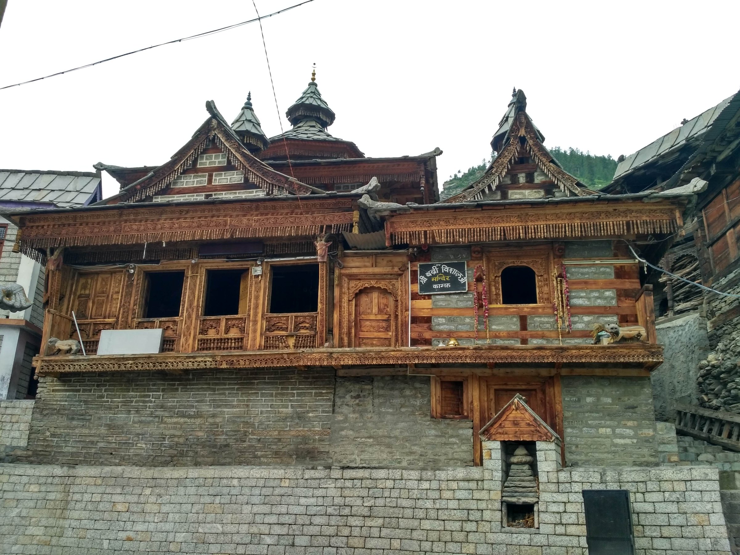
Badri Vishal temple, Kamru
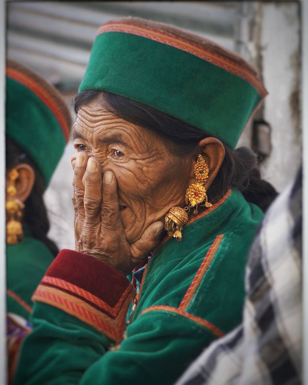
Kinnaur
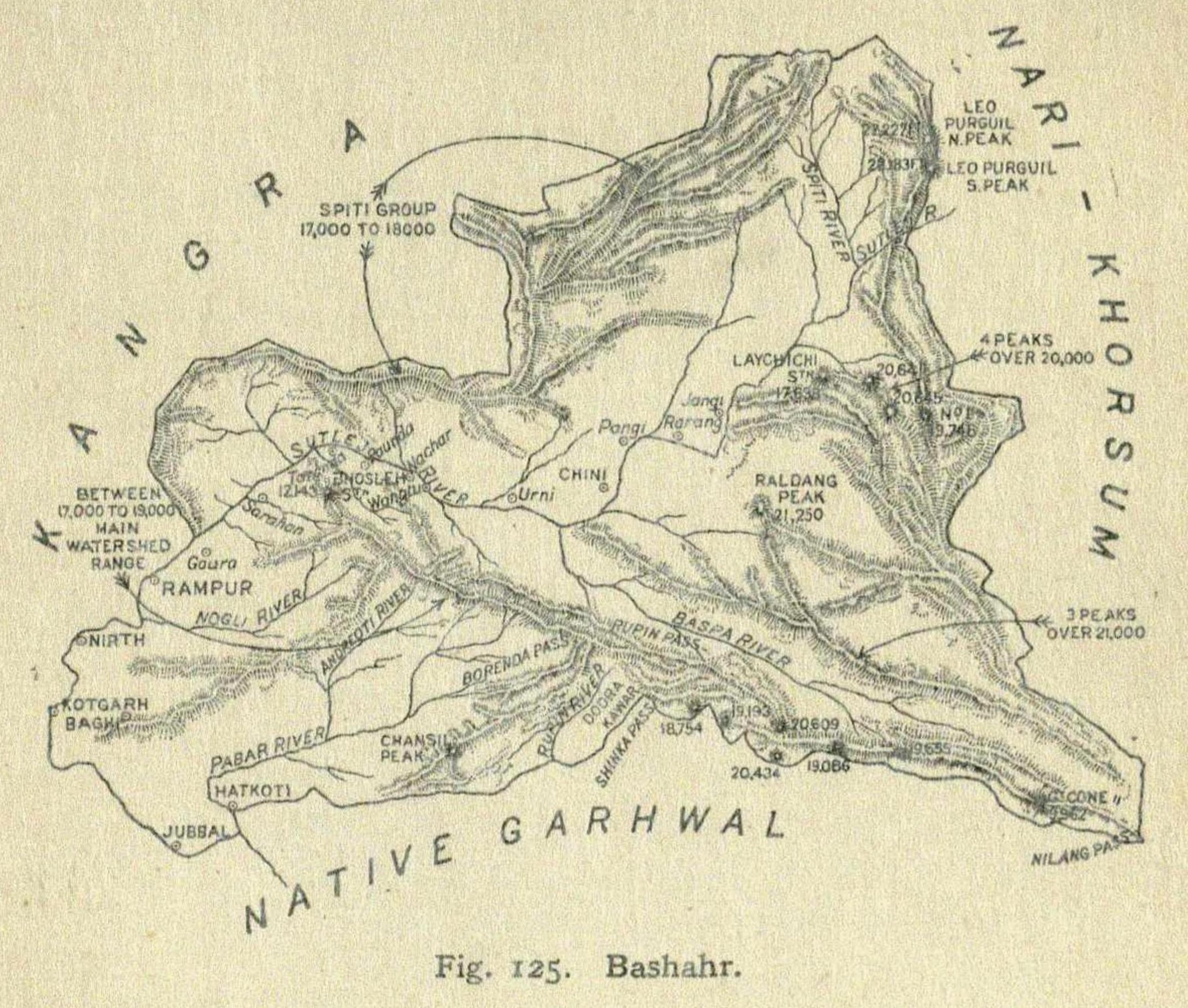
Bushahr State, Punjab Province